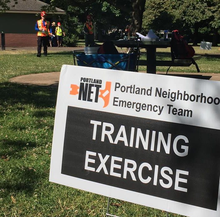
Deployment Exercise


Citywide Deployment Exercises

Twice each year, Portland NET teams participate in a Citywide Deployment Exercise (CDE). This helps us improve our skills, make important revisions to our Operations & Communications Plans, and inform our training plans.

The most recent Citywide Deployment was held on Sunday, October 8, 2023.  See below for after action reports from this and previous exercises. The next Citywide Deployment Exercise to be held on Saturday, April 27, 2024 from 9 am to noon.  More information will be posted here in February and March.

Past Citywide Deployment Exercises have been successful at raising the skills of teams and team members regarding of their state of readiness. This October gave a nod to the Columbus Day Storm of in October 1962 by featuring a simulated major storm during the afternoon of Sunday, October 8th. The planning team will provide a master scenario and a set of injects (simulated events, announcements and requests) to provide a strong sense of reality.

This exercise was created and orchestrated by NET volunteers. If you have questions or suggestions, or if you’d like to be part of the next planning committee, email NETDeploymentExercise@gmail.com.

After Action Reports from previous Citywide Deployment Exercises.

Photos from Citywide Deployment Exercises

EXERCISE MATERIALS from prior exercises

These materials are intended for Exercise Coordinators and Amateur Radio Operators who are planning the exercise for their team.

  • Forms (PBEM Wiki page describing and providing links to all approved forms.)
  • ITL Instructions (Instructions for Incident Team Leaders)

SKILL REFRESHERS

Read these skill refreshers before the exercise.

CHEAT SHEETS

Sometimes our brains get a little mushy when we’re presented with a high-stress situation (like a major earthquake). Keep these handy cheat sheets in your pack to help you remember your training!

OTHER RESOURCES

Here are some other tools your team may find useful in planning and preparing for the exercise:

  • PBEM GIS Mapping Tool – This interactive map shows neighborhood boundaries, schools, hospitals, URM buildings, and hazards and may be useful for planning training scenarios. You’ll need to zoom in to see details. 

If you have additional deployment resources to share, email them to netdeploymentexercise@gmail.com

PHOTO ALBUM: OCT 2019

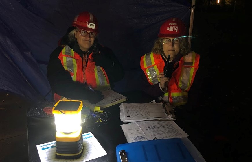
PHOTO ALBUM: APR 2019

PHOTO ALBUM: OCT 2018

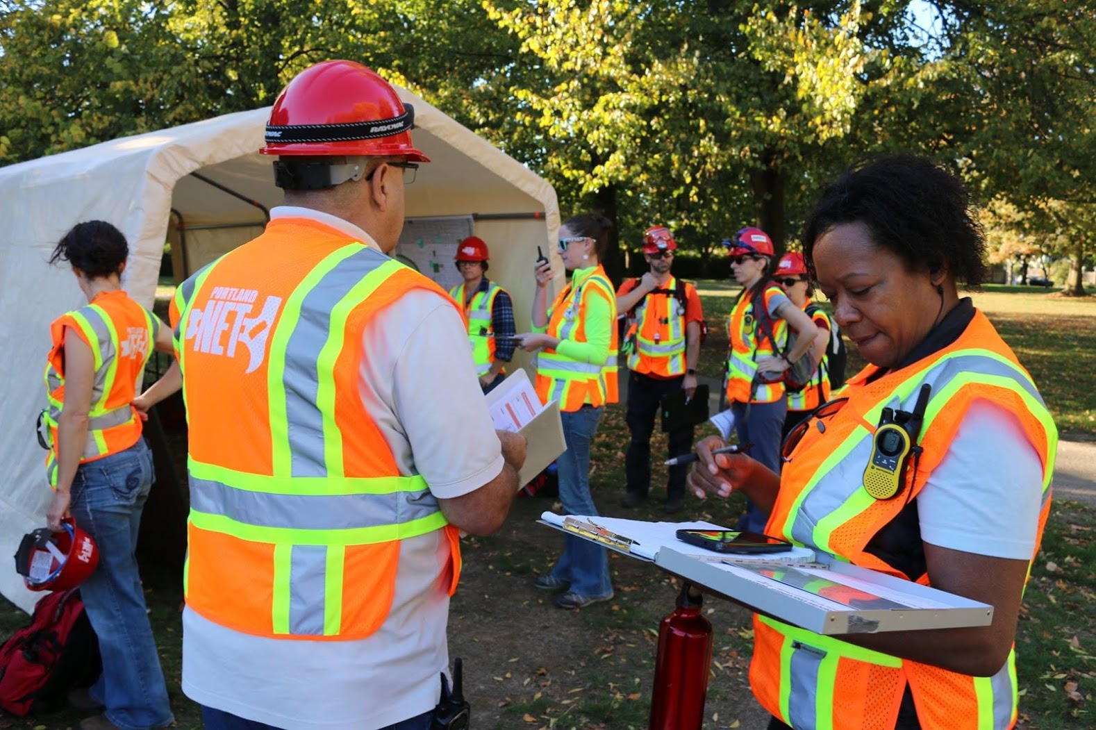
PHOTO ALBUM: APRIL 2018

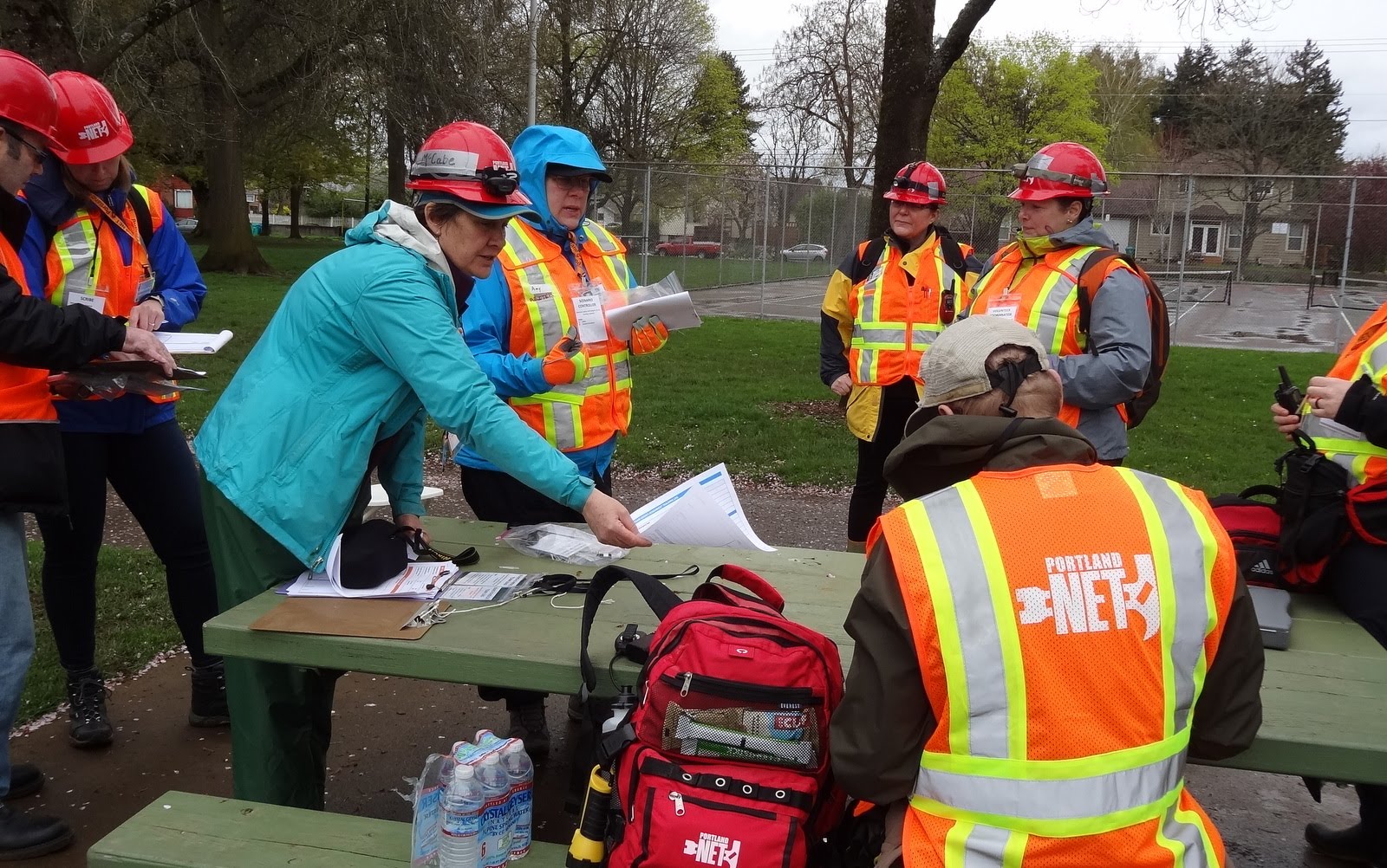
PHOTO ALBUM: OCT 2017

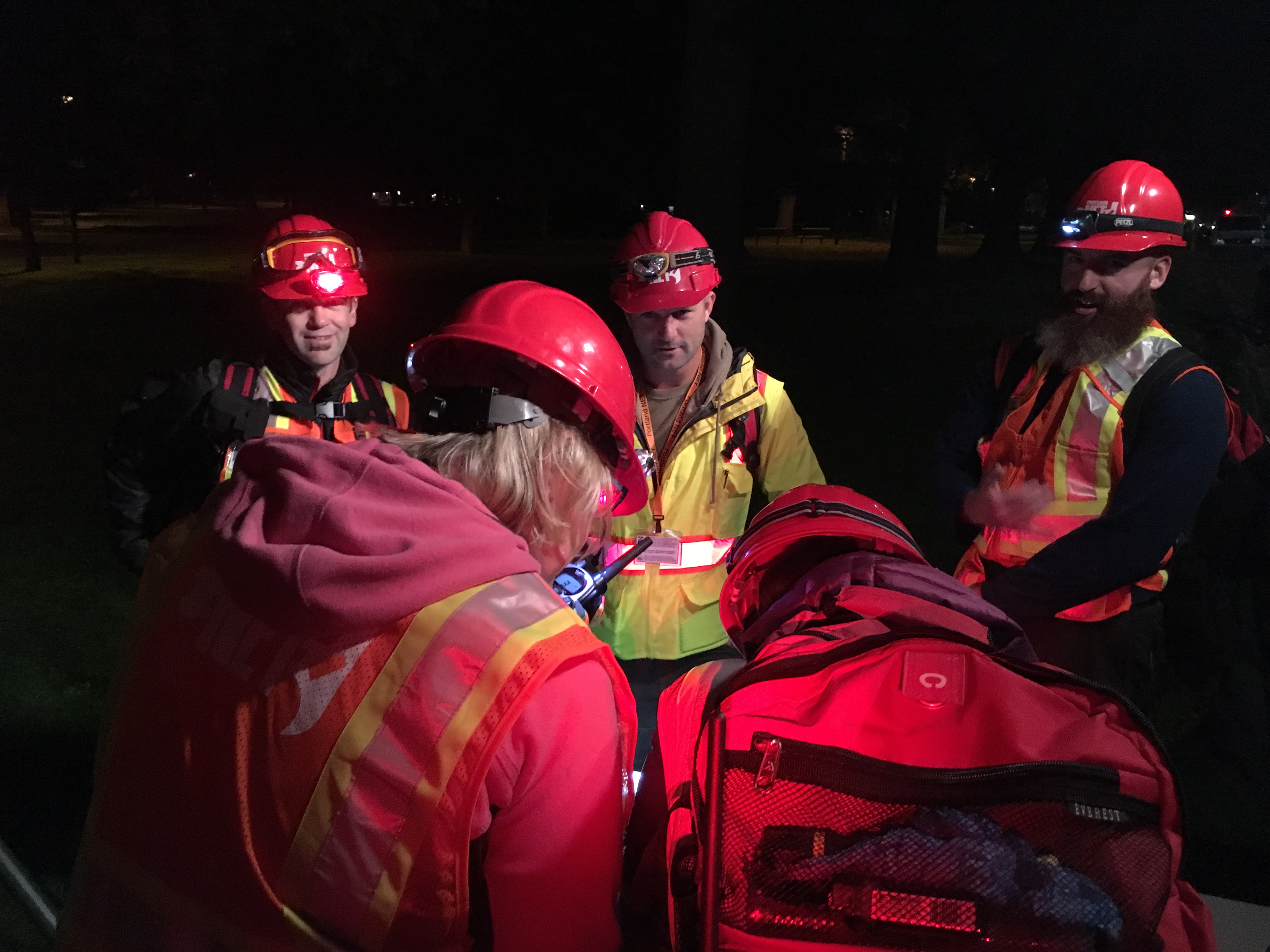
PHOTO ALBUM: JULY 2017

Share This